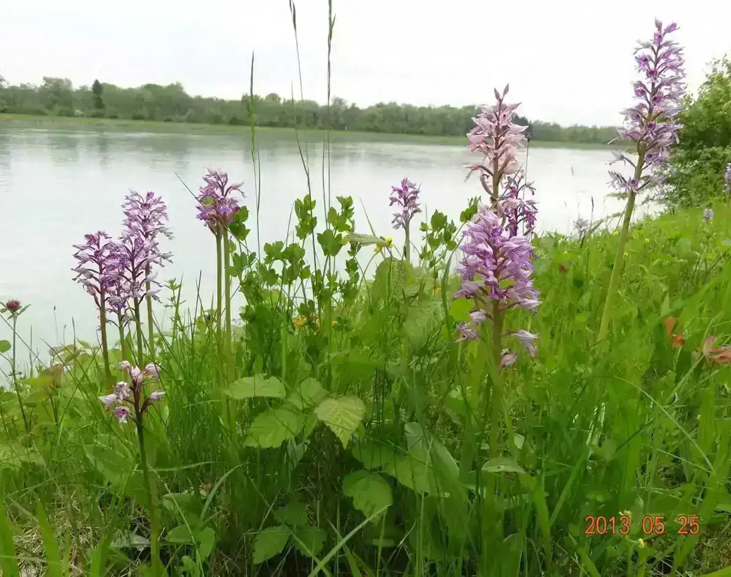
The measures will restore aquatic habitats in the dynamic areas of the reservoirs that are still influenced by the Inn. The aim of the measures is to create lost river structures and improve the fish habitat. In addition, measures are also being developed in the estuary sections of tributaries of the Inn (Enknach, Stampfbach, Mühlheimer Ache), as these waters are also of great fish ecological importance as spawning waters for various Inn species.
In addition to these nature conservation objectives, the LIFE measures are intended to contribute to achieving the "good ecological potential" defined in the European Union's Water Framework Directive and the national water management plans.
Project area
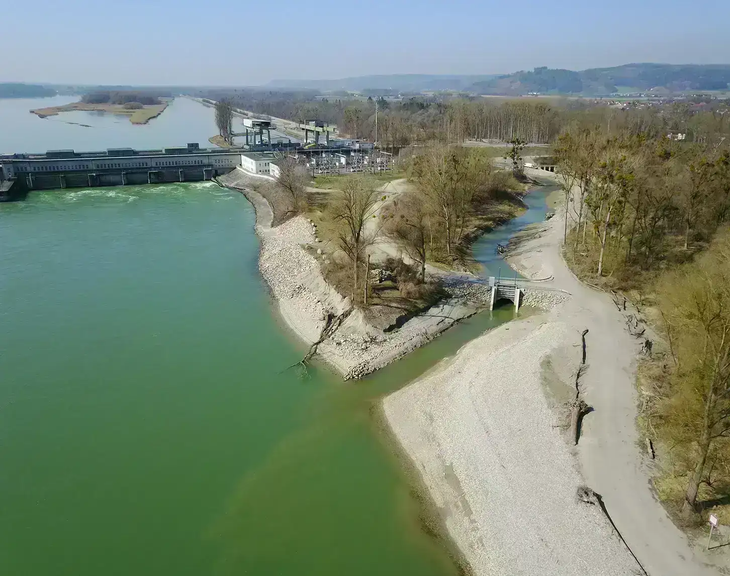
The measures on the border between Upper Austria and Bavaria include the two reservoirs of the Inn power plants Ering-Frauenstein and Egglfing-Obernberg as well as the reservoir root of the Inn power plant Schärding-Neuhaus.
In the twentieth century, the interaction between the river floodplain and the original energy gradient was fundamentally changed by the expansion of the Inn and the construction of a continuous chain of dams. There are residual gradients and water level fluctuations in the areas at the base of the dam, so that functional river structures can still be re-established here. These are the areas where the measures of the LIFE project will be implemented.
Bank structures, river structures, islands, floodplains
The furcation stretches of the historic Inn were subject to high morphological dynamics and permanent changes to the river bed. In the project area there were permanently flowing main and side arms with vegetated and unvegetated, stable and unstable islands. Erosion on the impact slopes and landfall on the sliding slopes were typical. This led to the formation of shallowly rising banks on the sliding slopes with various stages of succession from pioneer sites to soft floodplains.
Along the course of the Inn, scour ford sequences characterized the picture. Scours formed on the impact banks and fords in the transition areas between river bends and in branching areas. Due to regulation measures, damming and the construction of the Inn power plants, the historical river morphology was lost. Formerly typical structures are now to be restored in the LIFE project and their development promoted.
Bank restoration, dynamic floodplains
In the course of bank restoration, existing log jams are removed down to about 2 m below the low water level. This measure ensures a continuous water-land transition and allows the renaturalized bank to develop dynamically. The structuring with river wood in the low and middle water area leads to the formation of a dynamic bank zone and interlocking of the shoreline. The wooden structures form sustainable bays which, in combination with the river wood, serve as a habitat for juvenile fish. In the case of the bank on the outer bend or the location on the baffle slope, steep banks will form, providing a habitat for cavity nesting birds (sand martins, kingfishers).
Due to the extensive floodplain forest areas and the expected further and self-development, an additional influx of river wood is to be expected. The water level fluctuations that still prevail in the reservoir root area will form various stages of succession along the rising, flat banks, from pioneer sites to soft floodplain. Gravel banks with shallow banks are valuable juvenile fish habitats and provide habitats for gravel breeders (Little Ringed Plover, Common Sandpiper). During higher flow events, shallow gravel banks can be used as spawning grounds for rheophilic fish species.